Sidebar Content
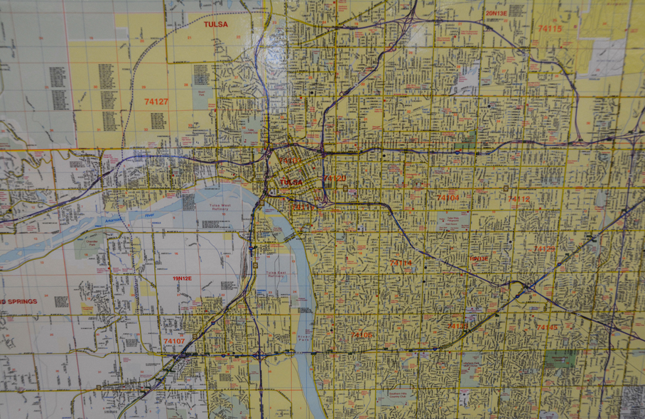
Research Center Tulsa County Wall Map
Have a question? Ask us!
Research Center
Tulsa City-County Library
400 Civic Center Tulsa, OK 74103
918-549-7323
rcaskus@tulsalibrary.org
Content
Tulsa Information Maps
Tulsa Tourism Maps
- Official Visitor's Guide
VisitTulsa's Guide to planning your visit to Tulsa.
- TulsaGo Explorer
This guide lists arts & culture, attractions, points of interest, sports, nightlife, eateries, shopping destinations, and more.
- Downtown Tulsa Street Map
This Tulsa map covers downtown neighborhoods like the Arts District, Blue Dome, Cathedral District, Deco District, East Village, and Greenwood/Black Wall Street.
- Tulsa Map
This map features a varied selection of local businesses and highlights.
- Tulsa Parks and Trails
Links to many of the parks and trails found in Tulsa.
Maps To Help You Get Around Tulsa
- Tulsa Metropolitan Area Major Street and Highway Plan
A map from INCOG of major streets and highways in metropolitan Tulsa.
- MetroLink
The map and schedule for using Tulsa's bus system.
- Neighborhood Academy
An interactive neighborhood map from the City of Tulsa.
- Tulsa County Map
Map of Tulsa County from
Tulsa Weather and Road Conditions Maps
- Traffic Flow Map
City of Tulsa's map of collisions and closed streets
- Tulsa Metro Traffic Web Cam Map
See the map or the camera images of major Tulsa Metro area highways from the Oklahoma Department of Transportation
- City of Tulsa Street Projects
Projects and maps divided by City Council District
- Oklahoma Road Conditions Map
The Oklahoma Department of Transportation's statewide road conditions map. Traffic alerts are also available.
Tulsa Crime Maps
- Tulsa Crime Map
See crime info past and present.
- Homicide Tracker
The Tulsa Police keeps track of homicides each calendar year.
Tulsa Demographic Maps
- Tulsa Area Zoning, Land Use, and Demographic Maps
A variety of maps from INCOG for Tulsa and some surrounding cities including corporate limits, census maps, school districts, city council districts, zip codes, precinct maps and more.
- Traffic Counts Map
INCOG's traffic count map allows you to zoom in and get traffic count information in Tulsa County and some other nearby cities.