Who doesn’t love a map? Maps are used by a variety of people for a variety of purposes. Whether you want to find the best way to get across town or across the world; to find the path least taken or the path of least resistance; to chart the waters, earth and air or to view the moon; to move boundaries or move businesses; or to see the possibilities of the future or imagine the days of past, maps can work for you. These amazing works of art draw people in and allow them to visualize and dream.
In the Central Library Research Center, you can enjoy the maps we have in our collection, which is a compilation of purchased, donated, and depository maps—some in paper and some available digitally. As a member of the Federal Depository Library Program, a large percentage of our collection of over 35,000 maps comes from the United States Geological Survey. We do, however, also have maps from other government authorities, state and local agencies, geological organizations, and private publishers. Come visit the Research Center on the 3rd floor of the Tulsa Central Library to learn more about our variety of maps.
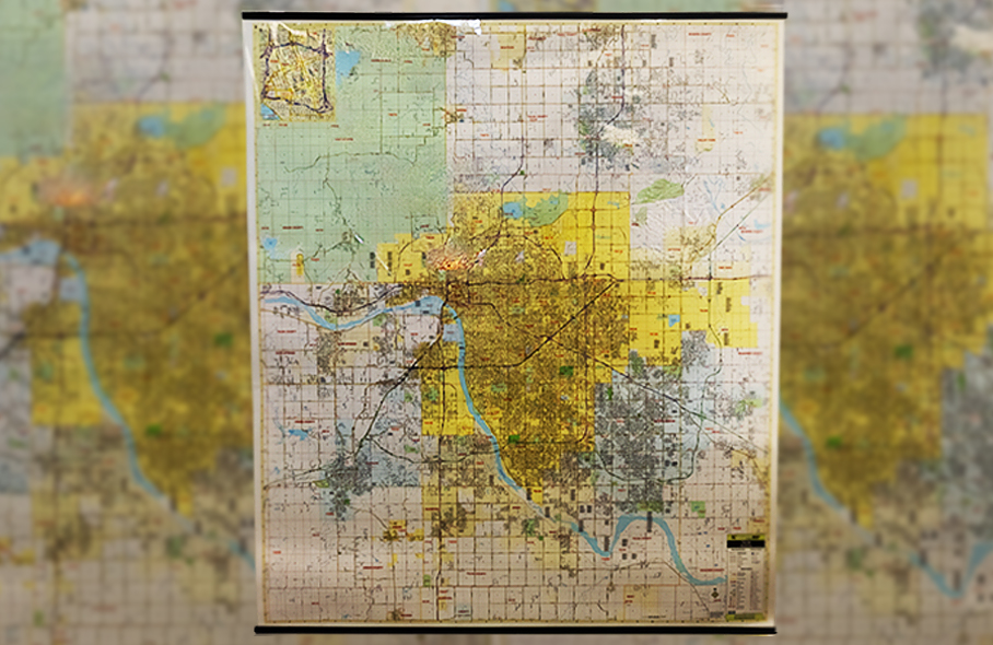
Maps Collections in the Research Center
The Research Center in Tulsa's Central Library holds in its collections many types of local and regional print and digital maps that are valuable resources for local research projects. Among others, these include plat maps, aerial maps, floodplain maps, old 7.5', 15' and 30' Oklahoma topographic maps, Sanborn maps, and demographic maps. We have an extensive geological map collection that includes USGS series maps, some state series maps, miscellaneous Oklahoma and North American geologic maps, AAPG geological highway maps, the Geological Society of America's Map and Chart series, and our Levorsen collection of world geological maps. A variety of atlases, regional topographic maps, and national park and trail maps are also available. Let us know how we can help you with your research project!
Digital Map Collections
The Research Center provides a larger viewing platform to access our digital map collections and other online map collections via our Map Table, a horizontally mounted touchscreen monitor with online access.
Online resources include:
The Research Center's digital images of historical Tulsa and Oklahoma maps including Tulsa enumeration district maps, territory maps, a Tulsa sanitary sewer system plan, and a treasure hunter's map.
• Tulsa County aerial maps Imagery in the 1950s and the 1960s
Search by township, range, and section to find the map covering your specific area of Tulsa County.
• Historical USGS Oklahoma quadrangle maps
15' and 30' Indian Territory USGS maps scanned by the University of Alabama.
• Oklahoma Sanborn Maps, 1867-1970
Maps created to assist fire insurance companies as they assessed the risk associated with insuring a particular property. Tulsa's maps fall between 1894-1962.
A family history software service for linking old maps and land records to your genealogy research.
• Tulsa County Assessor Interactive Maps
Parcel mapping software from the Tulsa County Assessor's Office.
• Oklahoma Department of Transportation maps
Includes: Oklahoma's Incorporated City Maps, Indian Territory Map, and Oklahoma State Highway maps from 1916-present
River charts from the mid to late 1800s scanned by the University of Alabama.
Research Center Paper Map Collections
Paper resources include:
• 1:24,000 scale United States Geological Survey topographic maps for Oklahoma and contiguous states
• USGS 15' and 30' Oklahoma Territory and early Oklahoma statehood maps
• Hand-drawn 1890's Oklahoma Government Land Office plat maps
• 1970's Tulsa County aerial maps
• Miscellaneous historical Tulsa and Oklahoma maps from the late 1800's to the early 1900's
• Oklahoma Department of Transportation’s series of Historical Oklahoma highway maps back to 1919
• Historical floodplain maps for Tulsa County
• USGS Geologic and Hydrologic Series maps
• United States and North American geological maps
• A.I. Levorsen Geology Collection maps, a worldwide canvas-mounted collection of geological maps primarily from the 1920s-1960s