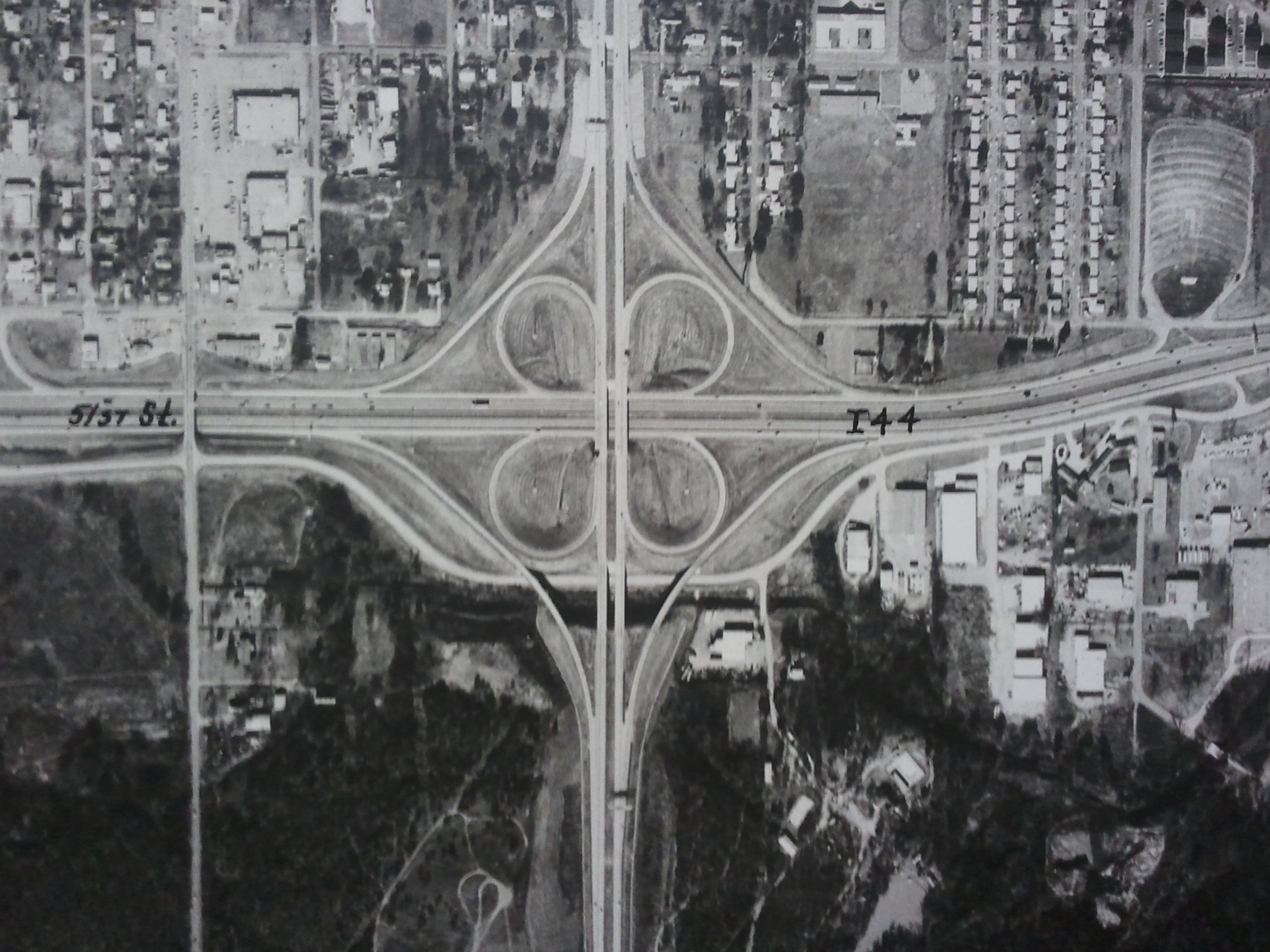
Aerial Map of Tulsa
Have a question? Ask us!
Research Center
Tulsa City-County Library
400 Civic Center Tulsa, OK 74103
918-549-7323
rcaskus@tulsalibrary.org
Aerial Maps in the Research Center
The Research Center holds both paper and digital collections of historical Tulsa County aerial maps.
Maps from the USGS, flown in the 1950s and 1960s, of the Tulsa County area that are available on the Research Center's Mapping Computer and in the Tulsa City-County Library Digital Collections.
- 1970s Tulsa County Aerial Maps
A donated set of maps of Tulsa County that we estimate dates from the early to late 1970's.
A book of aerial maps in our local history collection published by Ace Aerial Photo Service. These maps cover 720 square miles in the Tulsa, OK area including the cities: Bixby, Broken Arrow, Fair Oaks, Glenpool, Jenks, Sand Springs, Sapulpa, Port of Catoosa and Tulsa. The photography is from 1981 and the scale is 1" = 2000 ft. Topographic maps of the same area are provided on the opposite page of each aerial map.
Copyrighted by Ace Aerial Photo Service.
Ordering Aerial Maps
Information for ordering National High Altitude Program imagery is available through multiple government agencies.
The United States Geological Survey (USGS) originally coordinated the program. Their Earth Resources Observation and Science (EROS) Center site, gives background information about the filming, recording, quality, description and scale of the maps.
The United States Department of Agriculture (USDA) also has aerial imagery available. They give ordering instructions on their site.
In addition to NHAP imagery, the USGS offers other options in aerial and satellite imagery.
If you are looking for a local resource for high quality aerials, historical or current, INCOG sells a variety. Check their Map Pricing page for availability and cost.